This is my second post about cartography and maps of other celestial bodies of the Solar System (the first one, the Moon, is here) and there are not many subjects as fascinating as this one. The Moon is pretty well covered, but Mars is no shabby second. Moreover, thanks to The Martian (book and movie) people got quite interested in the Martian landscape, and with a good reason: it is amazing. 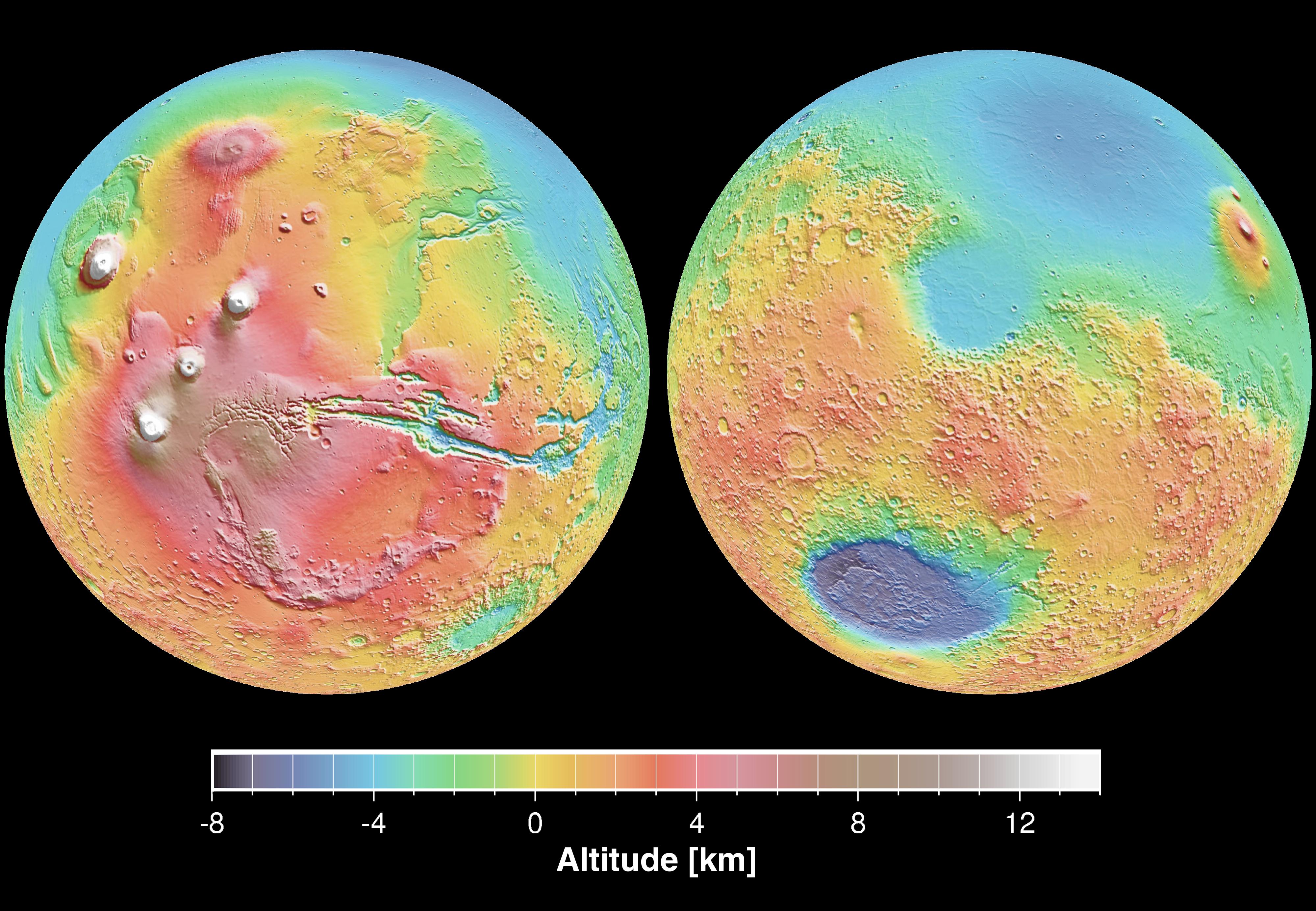
First of all, a definition of the discipline, by NASA: “Geodesy and cartography of planets and their satellites are natural extensions of the same scientific disciplines that are used to describe the size and shape of Earth, define its coordinate system, develop control nets, measure gravity fields, and produce accurate, useful maps. The techniques for making planetary measurements are frequently very different from those used on Earth, and the accuracy is generally not as high. Yet the data-including basic parameters such as rotation rate and average radius and shape, as well as detailed global and regional maps showing the extent and relative locations of surface features and (in the best of cases) their vertical relief-are essential to all geologic and physical studies of planets and satellites.” [Read the whole document here]
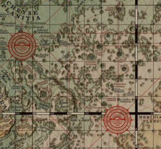
There have been in times many maps released by NASA and sister agencies, but the most recent ones are really stunning. In 2015, NASA “unveiled Mars Trek, a fully interactive map of the Red Planet, based on photographic imagery from previous and current Mars missions. You can zoom in, check out landing sites and landmarks, and even choose to view the planet in 2D or 3D, much as you would with Google Earth. You can also overlay data collected from NASA on the map or trace the paths of rovers on the surface of Mars. You can even opt to print out part of the Martian terrain via a 3D printer.” (Keep reading: WP gives a lot of interesting details. Here’s the link.)
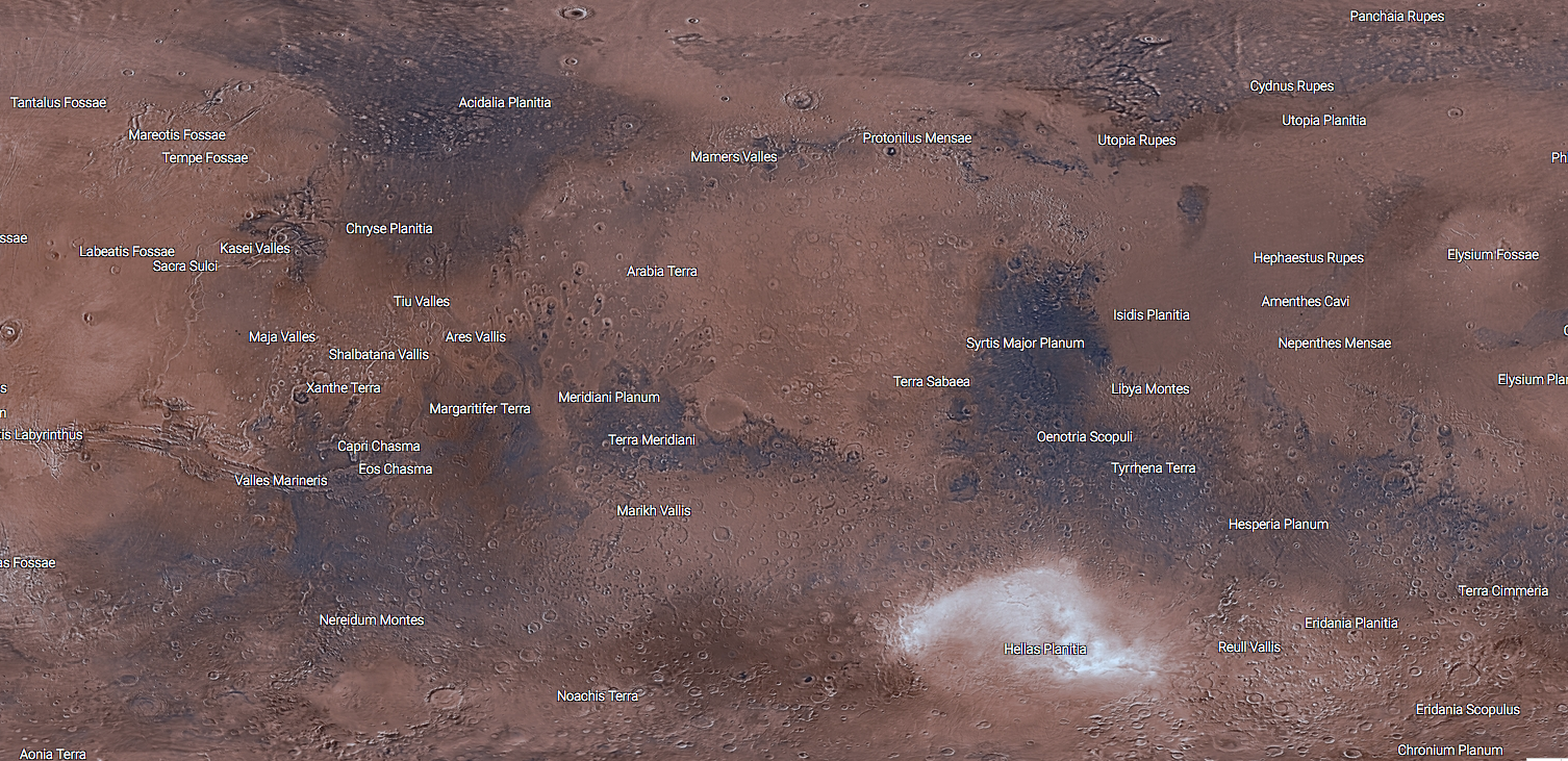
Mars is truly amazing, and you *can’t* get tired to look at it (I can tell: I have it on my office wall). For more, interesting features, browse Mars Trek or check this article, which portrays Mars as viewed by Medieval cartographers (so cool). Finally, for a more scientific take on it, check this out: Statella,T (2015) Mapping Mars: Geodetic and cartographic aspects, Planetary and Space Science, Volume 108,1-12, available here.
Leave a Reply